|
|
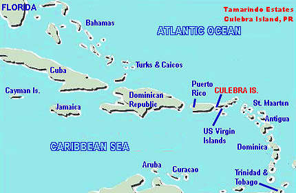
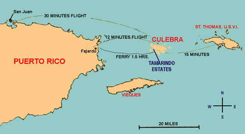
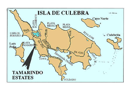
Culebra Location and Road Maps
|
|
 |
 |
 |
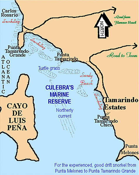 |
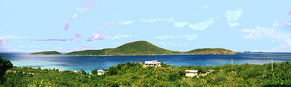
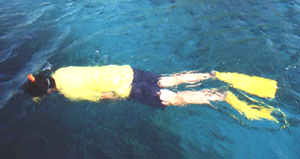
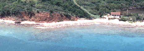
The Tamarindo Region
|
Snorkeling in the Tamarindo Region - Click to enlarge |
|
![]()
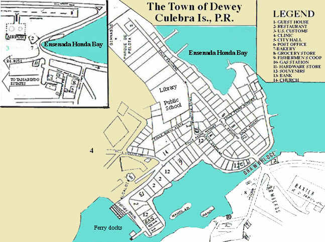
The Town of Dewey
![]()
![]()
P. O. Box 313, Culebra, P.
R. 00775, Tel. (787) 742-3343
![]()
| Getting to Culebra |
Moving Around |
Things To Do |
More Information |
Rates |
Book Online |
Contact Us |
 |
 |
 |
 |
 |
 |
 |
 |
 |
 |
